


Description
Earth’s surface has changed over time. Students will look at patterns of Earth’s features to examine these changes. Students will learn about Pangea, Continental Drift Theory, and seafloor spreading. Students will enjoy this great hands-on, research-based project to get students thinking about patterns of Earth’s features and fossil records and how they help to show geologic changes over time.
In this unit:
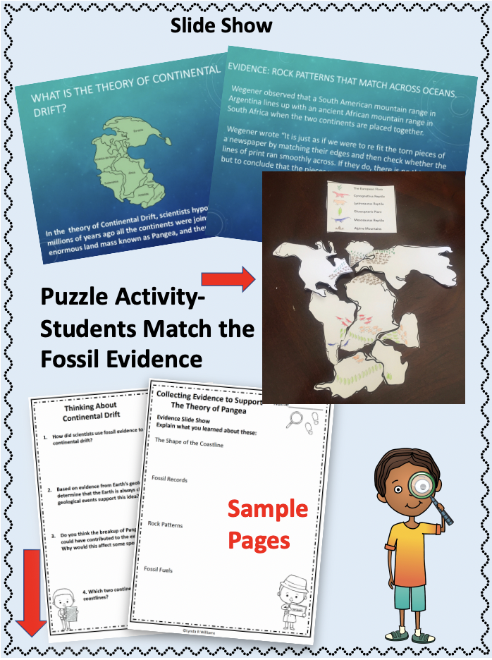
- Students will collect evidence from the presentation
- complete their own research using QR codes
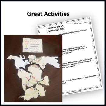
- look at the fossil evidence and try to match up the ancient landmass pieces to see if they can form the supercontinent, Pangea.
- complete follow-up pages and interactive notebook inserts
- analyze pros and cons of Wegener’s theory of Continental Drift
Teachers Love This Unit! ❤️❤️❤️
Margaret ⭐️ ⭐️ ⭐️ ⭐️ ⭐️ Extremely Satisfied
Great unit for looking at patterns in earth’s features. My students enjoyed the hands-on activity that was included and the response pages.
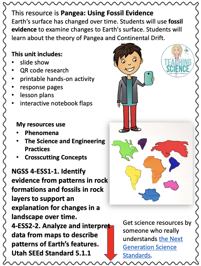
This resource includes informational text passages, slide show, response pages, puzzle activity, and interactive notebook flaps.
This activity with fossil evidence is really engaging! All you have to do is print it out and follow the directions.
Students will reflect on the fossil evidence and change to the Earth’s surface in interactive notebook flaps and folds and response pages that get them to think about the pros and cons of Alfred Wegener’s theory of Continental Drift. Students will determine the flaw in Wegener’s theory and be introduced to the idea of plate tectonics, subduction, and seafloor spreading. They will understand that materials like rock and earth are being constantly recycled through seafloor spreading and subduction. This resource includes informational text passages, response pages, and interactive notebook flaps.
Standards Addressed:
NGSS 4-ESS1-1. Identify evidence from patterns in rock formations and fossils in rock layers to support an explanation for changes in a landscape over time.
4-ESS2-2. Analyze and interpret data from maps to describe patterns of Earth’s features.
Utah SEEd Standard 5.1.1 Analyze and interpret data to describe patterns of Earth’s features. Emphasize most earthquakes and volcanoes occur in bands that are often along the boundaries between continents and oceans while major mountain chains may be found inside continents or near their edges. Examples of data could include maps showing locations of mountains on continents and the ocean floor or the locations of volcanoes and earthquakes. (ESS2.B)
Save 20%by purchasing as part of the 4th grade NGSS HUGE Bundle!